Starting at the lodge
We parked by the road from Zuberec to Huty, a short way from the forester's lodge below Biela skala (Horáreň pod Bielou skalou). There isn't much space, so in summer come early. We set off in the morning and didn't regret it one bit.
From the lodge the red trail heads uphill, and you stick with it all the way to the top. Right at the start a few forest roads branch off. They look tempting but lead nowhere useful, so just follow the red stripes on the trees.
One more thing before you go. We didn't walk back to the car, we went down via Sedlo Pálenica to Zuberec. If you want to do the same, work out beforehand how you'll get back to the lodge. More on that below.
Up through the forest
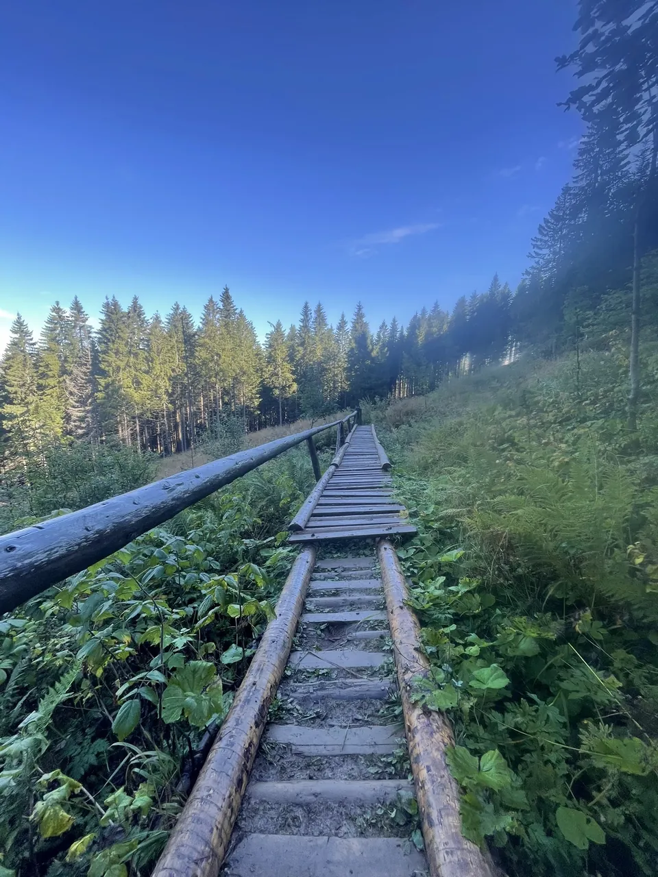
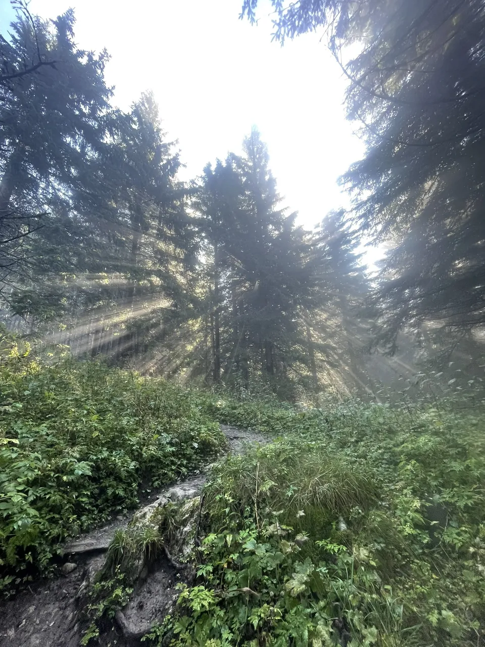
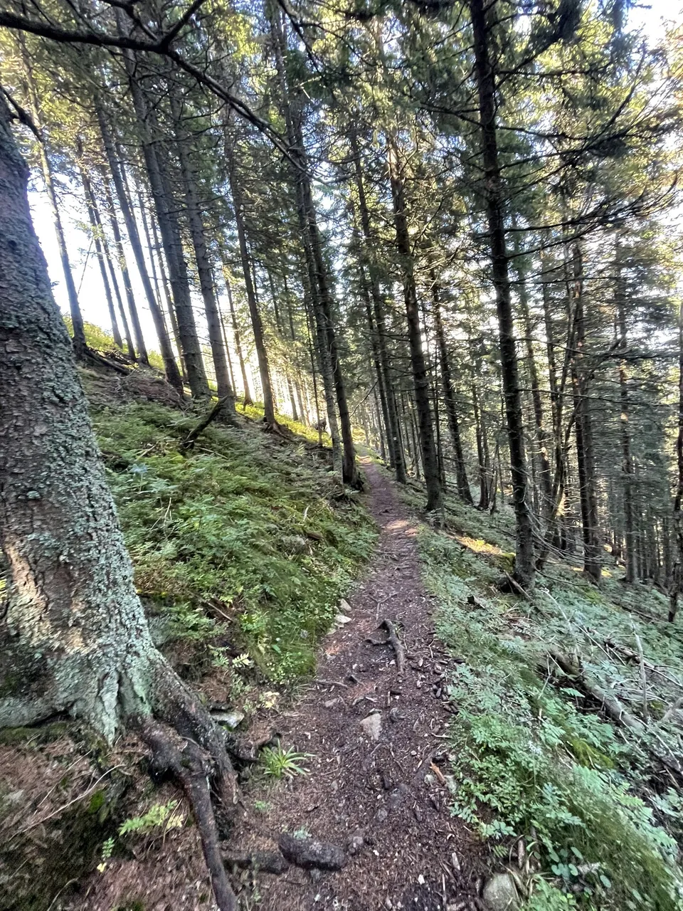
The first hour or so is all forest. Wooden steps with a handrail first, then a narrow path full of roots. In the morning the sun was breaking through the spruces and it was so quiet that all we could hear was our own breathing.
It's uphill from the very start, no point pretending otherwise. But the climb is steady, no desperate walls, so you can go at your own pace.
The detour to the cross
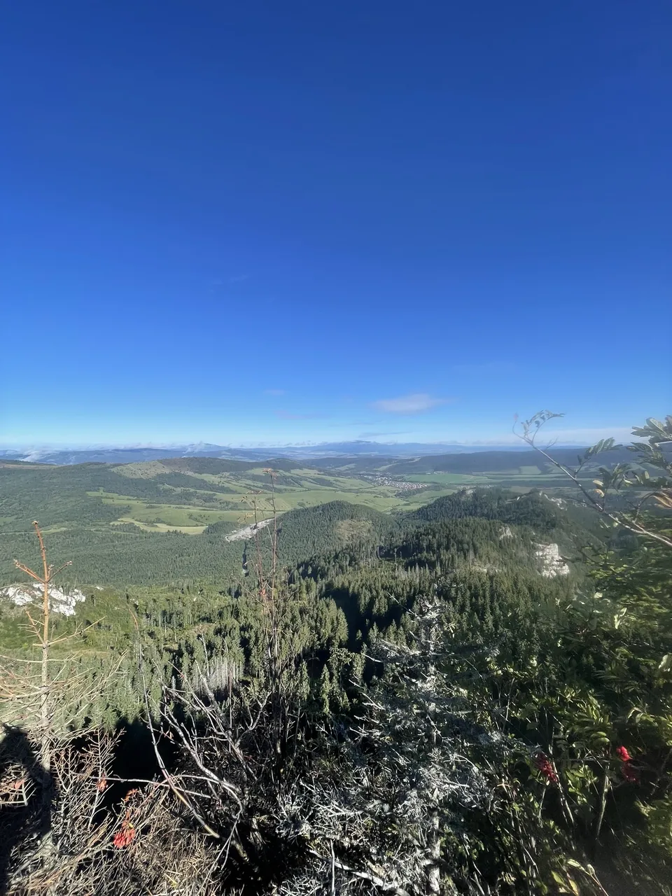
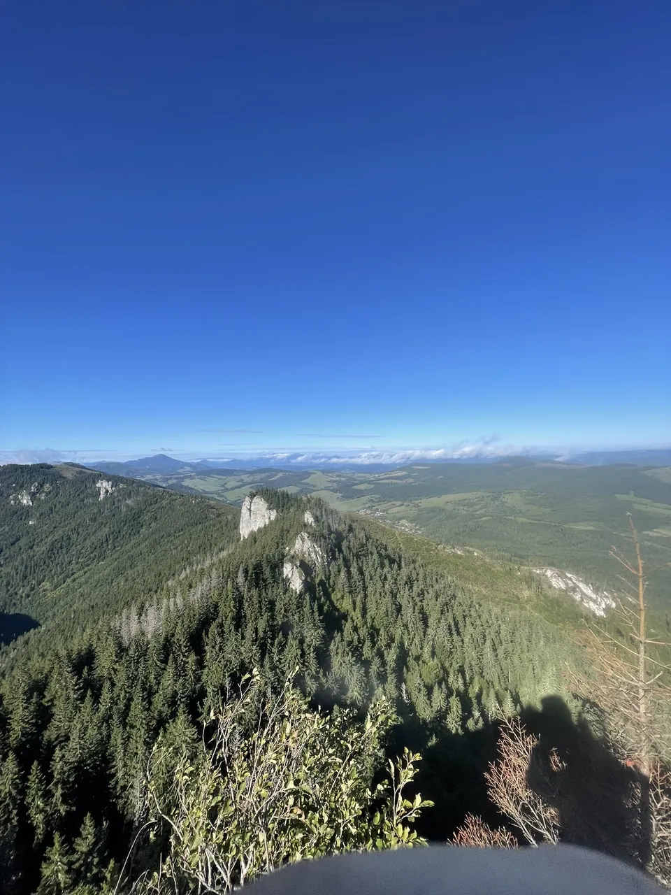
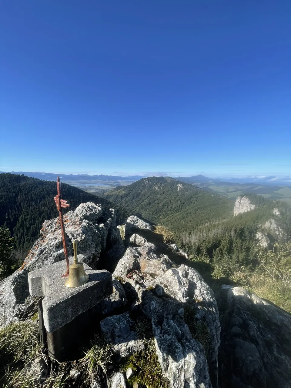
After a while a short side path leads off to a rocky viewpoint with a cross and a little bell. This is where we stopped properly for the first time. The forest suddenly opens up and the whole of Orava lies below you, meadows, woods and villages.
On the other side you can already see the white towers you're heading for, and Liptovská Mara glints in the distance. We rang the bell, took a few photos and went back to the red trail. Those few extra minutes are absolutely worth it.
Viewpoint with the cross on the map
Above the trees at last
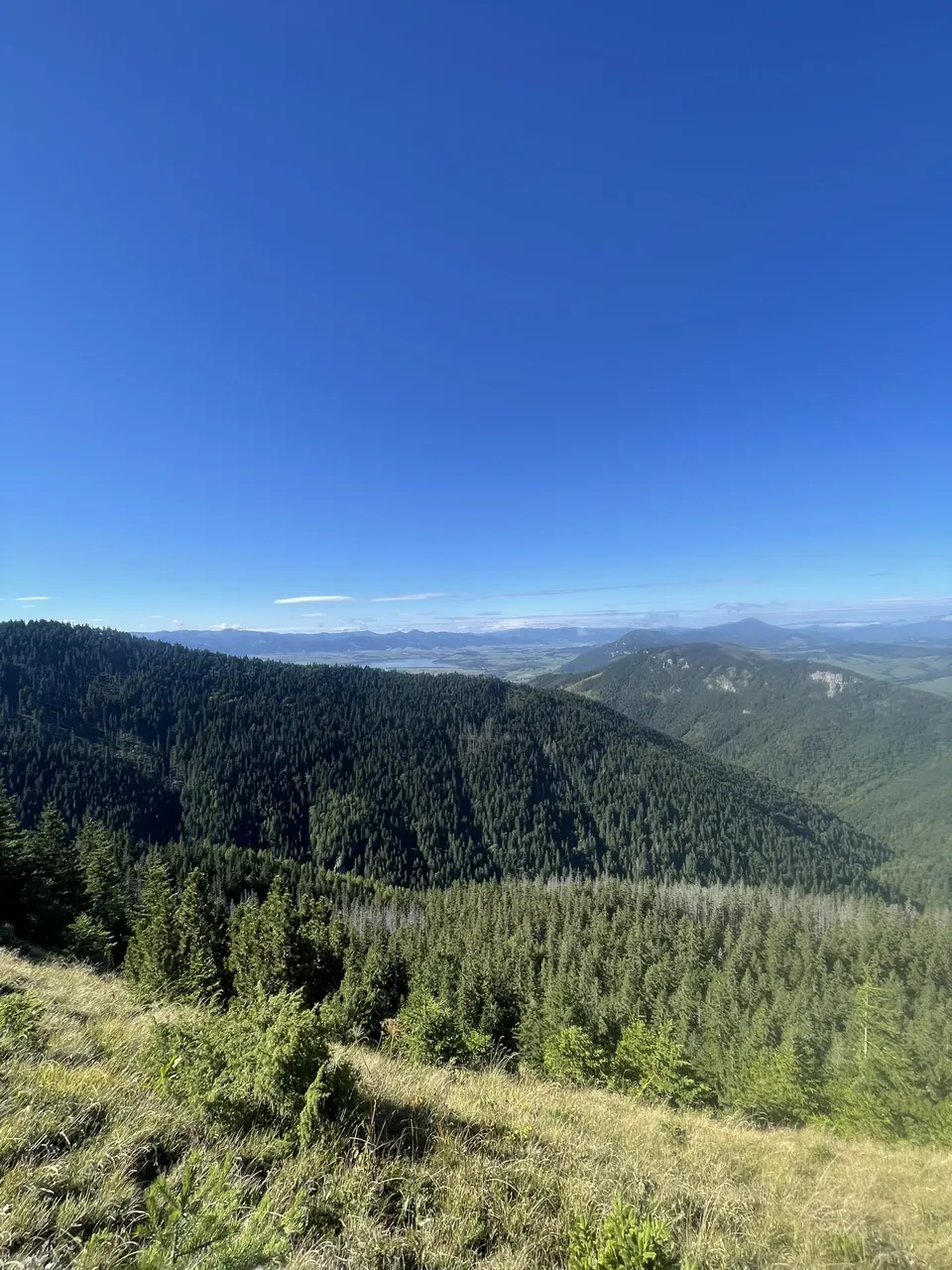
Past the viewpoint the path gets easier and is well marked. The forest thins out bit by bit, Liptov starts showing between the trees, and then suddenly there's nothing but dwarf pine. That's when the first white rocks appear.
The “Orava Dolomites”
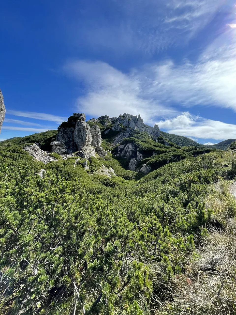
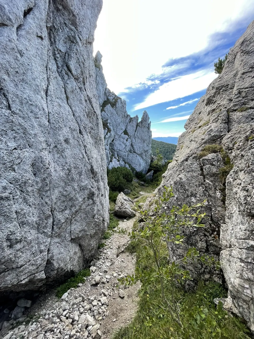
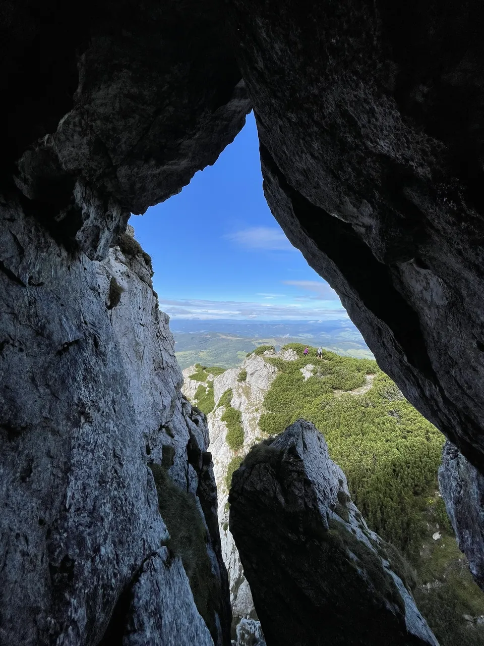
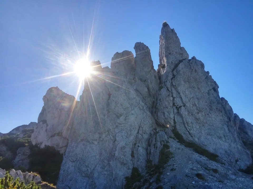
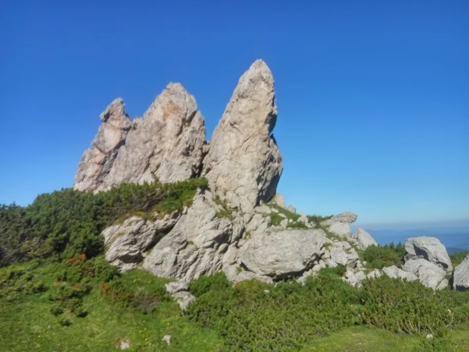
Honestly, this is why we keep coming back. Limestone towers and needles stick out of the dwarf pines, and for a moment you feel like you're somewhere in Italy rather than in Orava. That's why people call them the “Orava Dolomites”. The path weaves between them through narrow gaps, and at one point we looked through a rock window at the very ridge we were walking along.
Watch out for the chains. There are some on the rocky sections and more just below the summit. Nothing terrible, but you need sturdy shoes, a firm grip, and it's best not to look down too much if heights bother you. Wet rock gets slippery. With small kids we'd think twice.
At the top
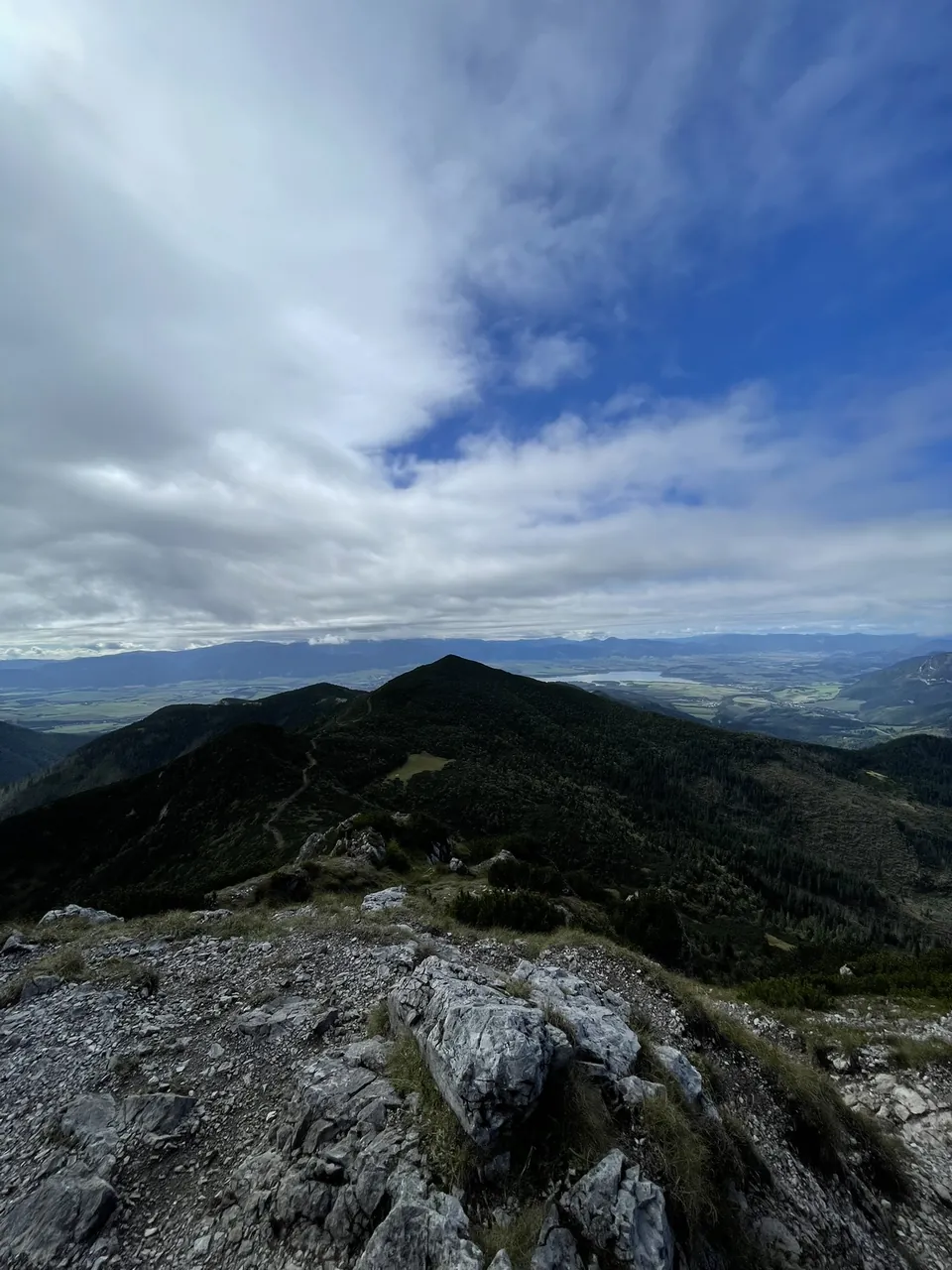
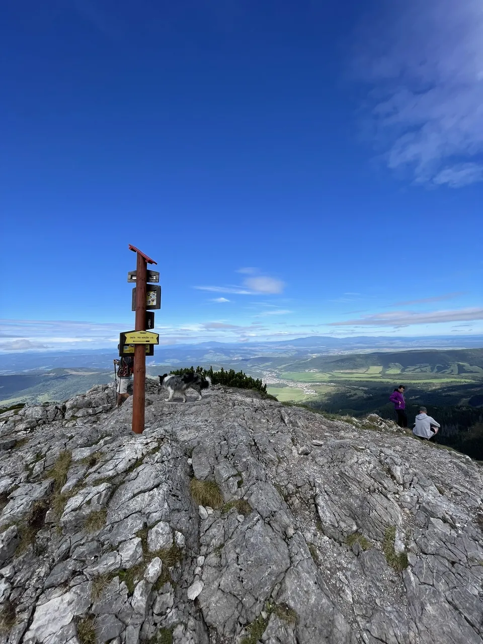
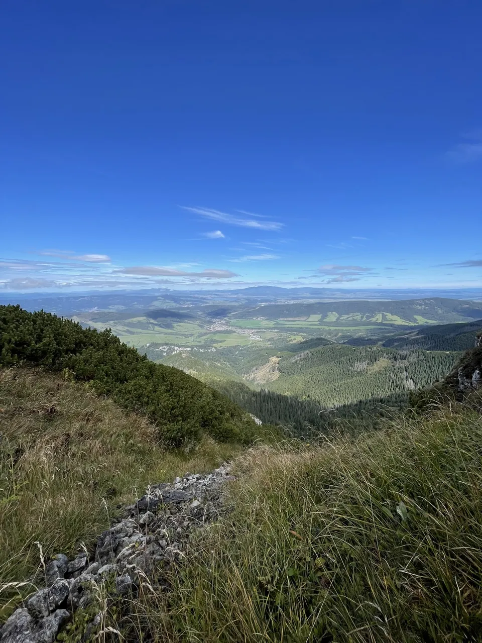
The summit is rocky, but there's plenty of room to sit. The Roháče ridge on one side, Liptov and Liptovská Mara on the other, and Zuberec right below your feet. While we sat there, clouds drifted in from Liptov, but they didn't take the view away.
This is where we took a proper break. Snack, water, a moment of quiet. Don't rush, this is the part you came up for.
Down via Pálenica to Zuberec
We didn't go back the same way. From the summit we carried on along the ridge on the red trail, through dwarf pine and rocks, down to Sedlo Pálenica. It takes about 50 minutes and Brestová and the Salatíns are in front of you the whole time, so we took it slow.
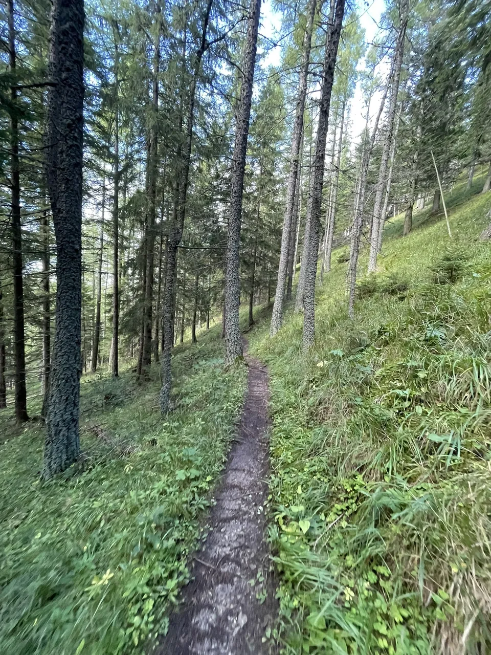
At the saddle we turned onto the yellow trail, which took us through the forest all the way to Zuberec. Allow roughly two hours. The top part is pleasant; lower down the path gets steeper and turns muddy after rain, so poles come in handy. The last stretch is on tarmac at the edge of the village.
The catch is that the car is still at the lodge. From Zuberec it's about half an hour on foot along the road, on the shoulder next to passing cars. It's better to leave a second car in Zuberec or arrange for someone to pick you up.
Other ways down
Back the same way. The simplest option if you don't want any hassle. From the summit on the red trail over the rocks and through the forest to the lodge, and you're at the car in one and a half to two hours. Take the chains slowly on the way down.
Via Brestová to the Roháče – Spálená chairlift. If you still have legs left, don't turn onto the yellow trail at Sedlo Pálenica; carry on along the red one to Brestová (1,934 m), about an hour. From there take the blue trail to the Predný Salatín ridge and on to the top station of the Roháče – Spálená chairlift, which takes you down to the car park. The longest version, but probably the most beautiful, with views into Roháčska dolina. Check the lift's opening times on the resort's website, and you'll need a ride back to the lodge from there too.
Coffee and cake
After the hike we popped in for a coffee and something sweet. In Zuberec you can go to Cafeterium Zuberec, for example, and there are more tips in the Bars & cafés section.